MORMUGAO Fort
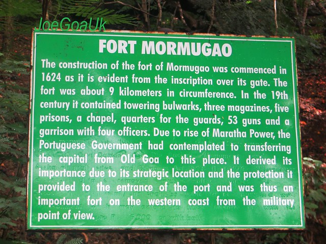
Construction of which started in 1624.. It was a vast Fort with 9 KM circumference. See pics of other parts, lower fort below
Vasco da Gama, Goa
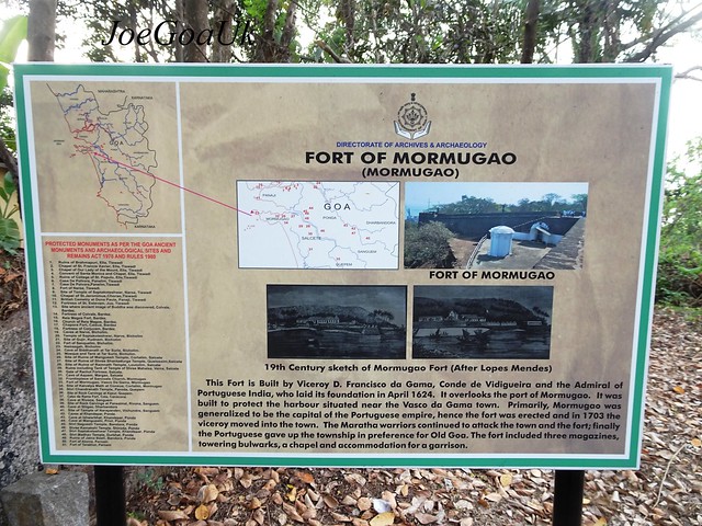 https://www.flickr.com/photos/joegoauk73/40182318305/
https://www.flickr.com/photos/joegoauk73/41075609631/in/photostream/
So many times I travelled this way, I even once walked back from Harbour as I could not get return transport from there... Nor I knew the existence of fort around this area for I thought the fort or the fort remains located down the Japanese garden at headland Sada.
I mean to say, my visit to this fort was not planned, it was purely accidental.
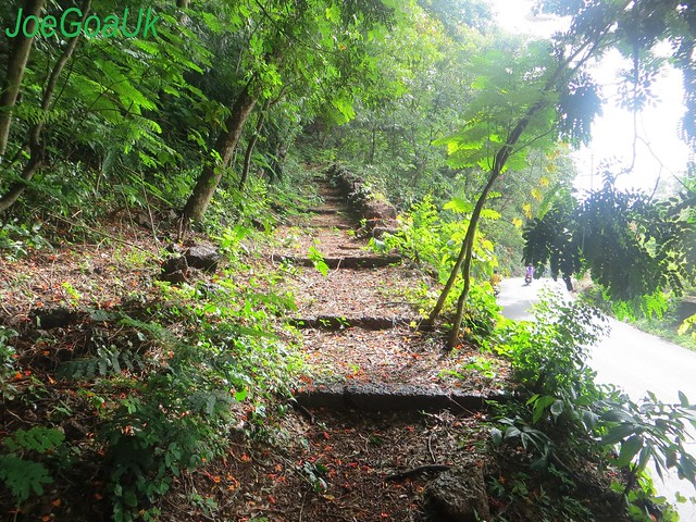
I just got down to read what the description board says which made me to realised the fort is located around this area. Bellow the sign boards; there is a pathway / steps and curiosity made me to follow it right up to the top. I was all alone, bit scared too. There was nobody up there, just myself.
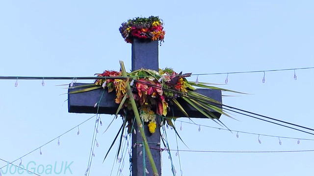
There is a huge cross, little notice on it say it was restored in 2004 by Fr. Theo D’Cunha.
In front of it there is a small Chapel dedicated to ‘Piedade Saibinn’ see pic.
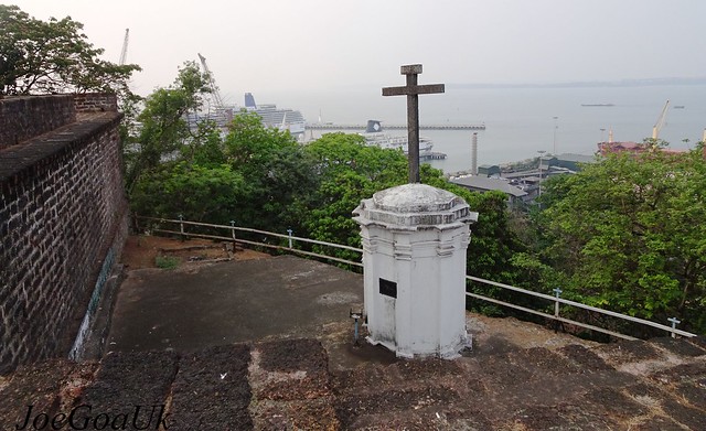
Looks like there is monthly or annually mass service here as I could see some chairs caged inside the chapel.
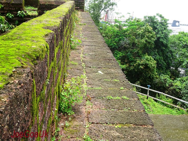
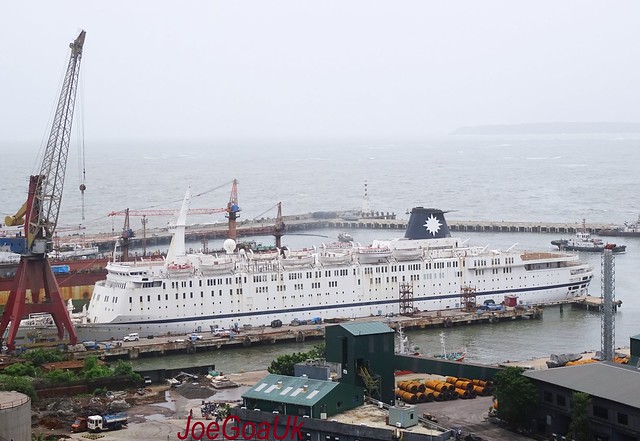
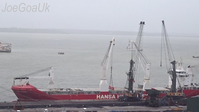
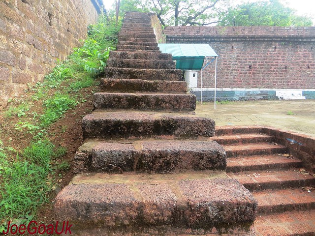
Then I went up on the fort wall using the flight of steps, up there, one can take breathtaking view of Arabian Sea, which includes MPT cargo handling activities, dockyard, cruise terminal etc.
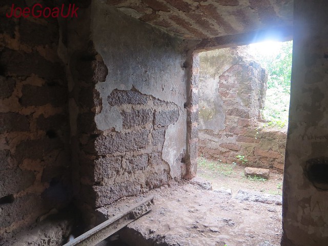
Opp to main entrance of the fort, there a roofless structure inside of which located one or two chambers or room, it was bit dark out there, bit scary (particularly when there was no one around) but I managed to enter it, it has small openings, probably for placement of canon guns facing the sea.
To the right of the Chapel, there is another gate or exit and one can see the fort wall externally. Close by, there is a tree and I saw a heavy peacock flying away, probably she got disturbed by me. There is also a narrow concrete pathway (recent addition or not being part of fort) which leads to the Main road to Sada but via MPT Administrative building complex.
This access is ideal for older people where walking or climbing uphill is not involved.
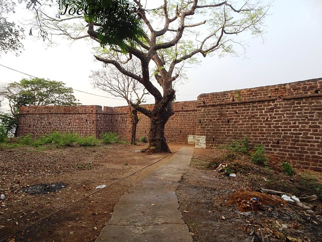
https://www.flickr.com/photos/joegoauk73/41033000222/in/photostream/
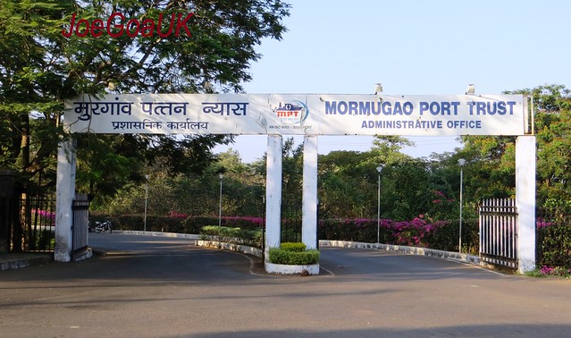
One has to enter the MPT main gate, see pic, and take the path. At the main gate, I don’t remember seeing any sign board about the fort.
It can be a good tourist attraction if government maintain and promote the fort.
Many may not have visited the fort for they are unaware of it. Look at me, I am supposed to be an explorer myself and I didn’t know of it either.
I tell you, just visit the fort and you will love it.
Watch the video I made and you will not even need any help as to how to get there etc
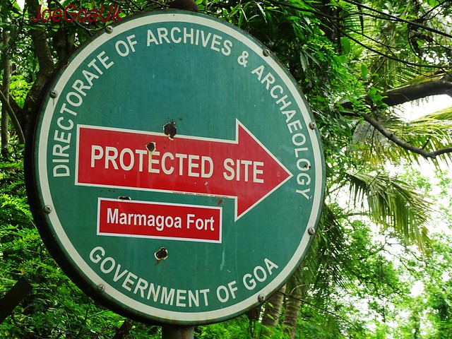
If taking public transport, city buses, get down at Sada – Bhogda junction and take Harbour Road. Walk until you see sign boards to your left and right ‘Protected site’ Protected Monument’ etc. You can climb this way and exit other way as show in the video.
Please note: If taking Motorcycle pilot, they may not know of the fort at all.
Original steps or pathway from the road can be refurbished or restored, railings could be provided too
Pics
From the road (to Harbour)
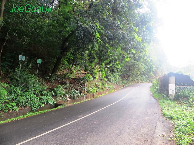
a brief description board
https://www.flickr.com/photos/joegoauk73/14250914888/in/photostream/
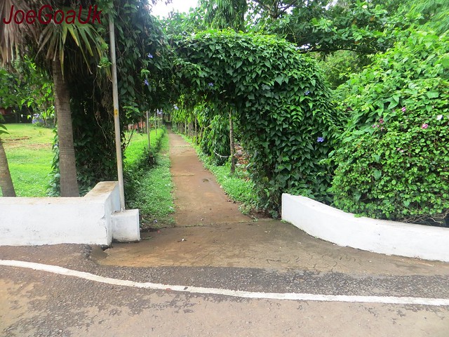
Pathway to the fort
up on the fort
Some Chambers / rooms
Steps to the fort walls
https://www.flickr.com/photos/joegoauk73/14457720263/in/photostream/
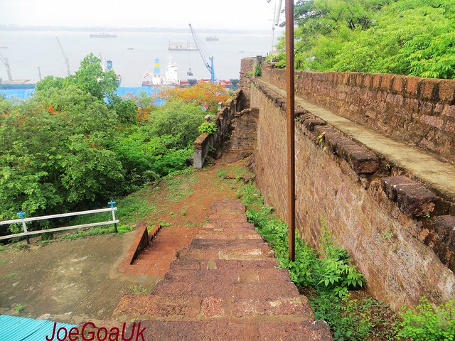
Sea view from the top – Cruise terminal, dock etc
https://www.flickr.com/photos/joegoauk73/14250973058/in/photostream/
A Cross, Chapel inside the fort
Nossa Senhora de Piedade
Our
Lady of Piety
Piedade Saibinn
https://www.flickr.com/photos/joegoauk73/14434219961/in/photostream/
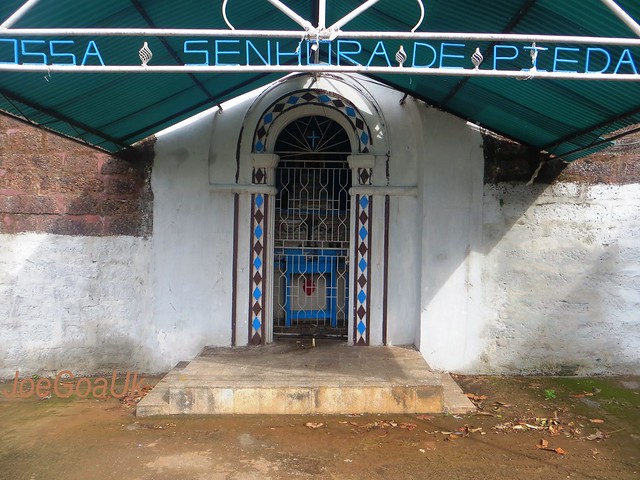
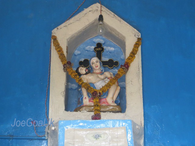
Other side with exit door
https://www.flickr.com/photos/joegoauk73/14414418496/in/photostream/
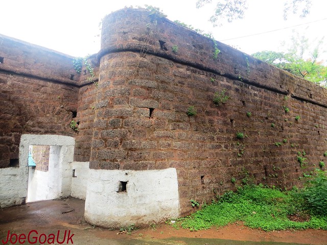
on this tee there was a peacock (long tailed, female?)
https://www.flickr.com/photos/joegoauk73/14250907429/in/photostream/
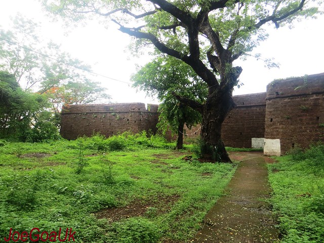
the pathway leading to Main road (Sada)
Via MPT offices building complex
https://www.flickr.com/photos/joegoauk73/14457734613/in/photostream/
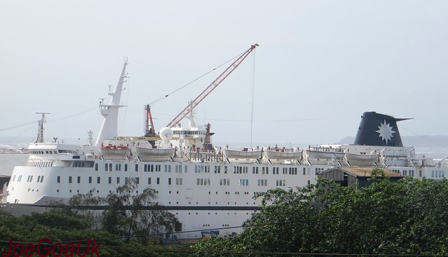
A ship view
MV QING
Sahara india
Since 9.1.14
The ship gone? not seen in early May 2019
https://www.flickr.com/photos/joegoauk73/14251079617/in/photostream/
 https://www.flickr.com/photos/joegoauk73/14250971089/in/photostream/
More pics and video July 3, 2016
 https://www.flickr.com/photos/joegoauk73/27999195071/in/photostream
update 2021
Looks like the Mormugao Fort was a vast fort covering wider area say 9 KMs circumference or covering whole of Bogda, Sada etc see board
Recently, spotted a lower fort (see pic below) towards Baina Beach from Bogda. Many mistake it as Sada fort which infact a part of large Mormugao fort
https://www.flickr.com/photos/joegoauk47/51360468735/Also seen in this video
